Taskmap Spraying (Broadacre)
Spray exactly what’s needed, where it’s needed.
Spray exactly what’s needed, where it’s needed. Maximize efficiency with precision taskmap spraying, reducing risks for your fields and plants, reduce costs, and minimize waste.
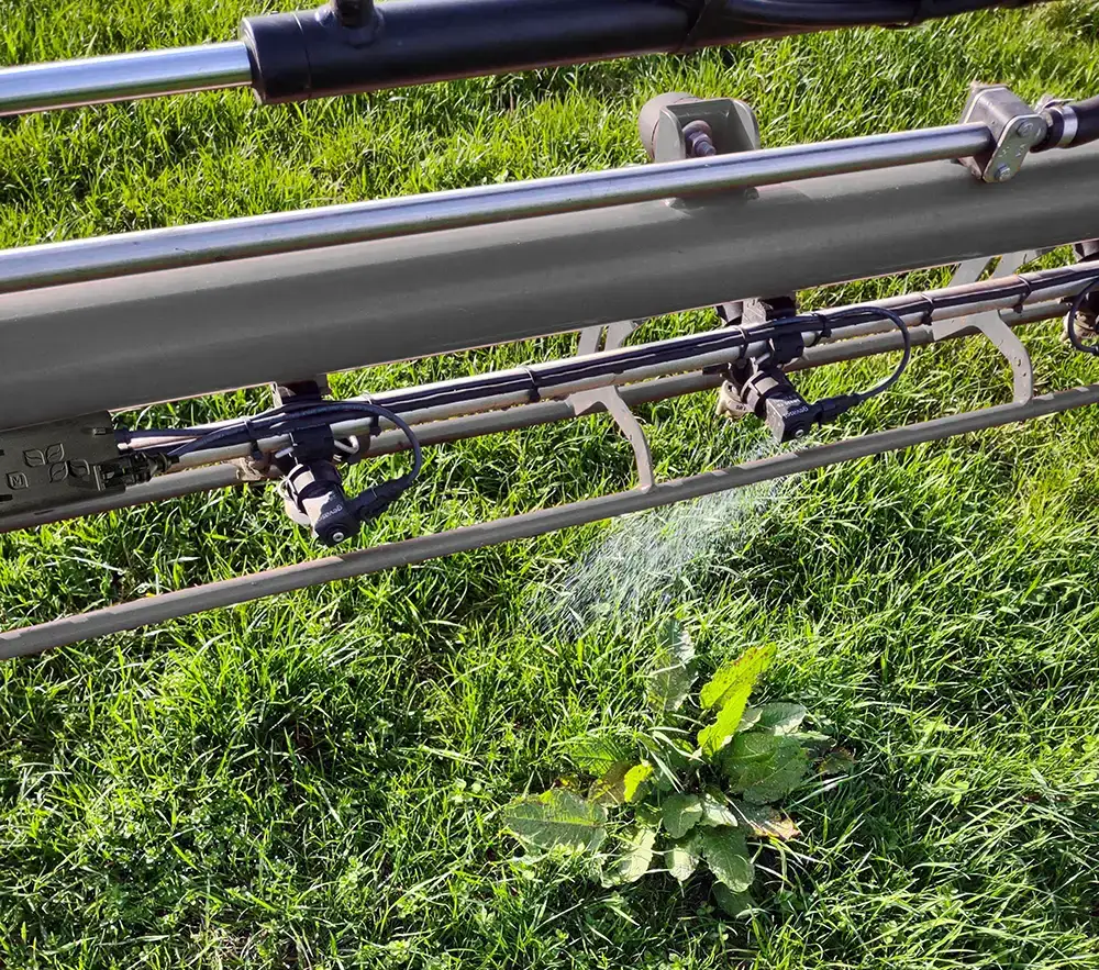
Traditional spraying applies chemicals uniformly, leading to overdosing in some areas and underdosing in others. With BBLeap’s High-Resolution Taskmap Spraying, every part of your field receives the precise dosage it requires—no more, no less. Optimized input, healthier crops, and lower costs.
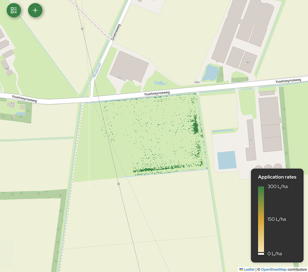
Take control of your spray application with pinpoint accuracy down to 25 x 25 cm resolution.
High resolution prescription map
How it works
BBLeap’s Taskmap Spraying for broadacre farming ensures precise application of crop protection products. By using satellite, drone, and soil-based taskmaps, your spray application is mapped out for specific areas. With the help of gps we know the position of the sprayer and so it is known where the sprayer needs to spray which amount. We can execute taskmaps with a resolution of 25 x 25 cm.
You can generate taskmaps by yourself or by your crop advisor using open satellite data or your farm management system. The taskmap can be uploaded in our LeapSpace platform via the internet so no USB-sticks are needed anymore. The taskmap will automatically be sent to the sprayer. After finishing the taskmap an as applied map is saved to the LeapSpace platform.
BBLeap has an integration with the following taskmap generators
