




LeapMap: Your tool for executing high-resolution prescription maps
Accurately translate data layers into action at the plant level
Maintain 100% of your precision, from data to application
Plant-level farming demands absolute precision. To achieve this, you need two things: the exact position of the field sprayer and high-resolution data. With LeapBox, you have the hardware to dosage with absolute precision, and with LeapMap, you have the software to aggregate external taskmaps and LeapEye as-detected maps and seamlessly translate them into field action.
LeapMap maintains precision down to a 25 x 25 cm level throughout the entire operation. As logical and self-evident as this sounds, maintaining this full resolution from map to plant is what makes the BBLeap system unique. The result? A software engine that directly brings data-driven spraying into practical use – for maximum chemical reduction and optimal yield, without compromising on capacity.
This creates a continuous cycle of sensing, executing, and improving. Every plant receives exactly what it needs – the foundation for Clean Food, Clean World.
The essential bridge between data and execution
LeapMap is the essential bridge between data and hardware:
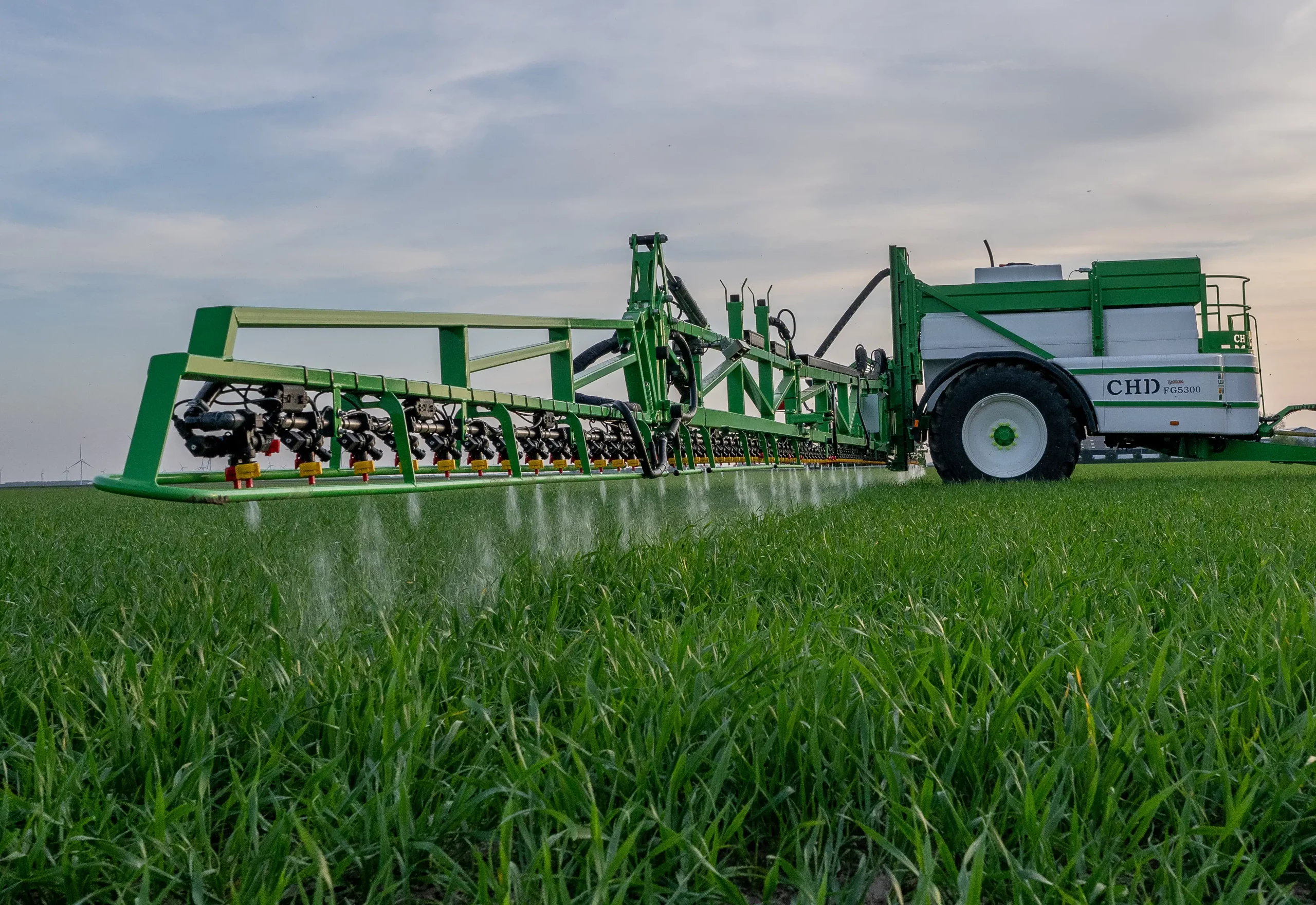
- Excellent Spraying: LeapBox forms the core and executes the physical task with 100% accuracy.
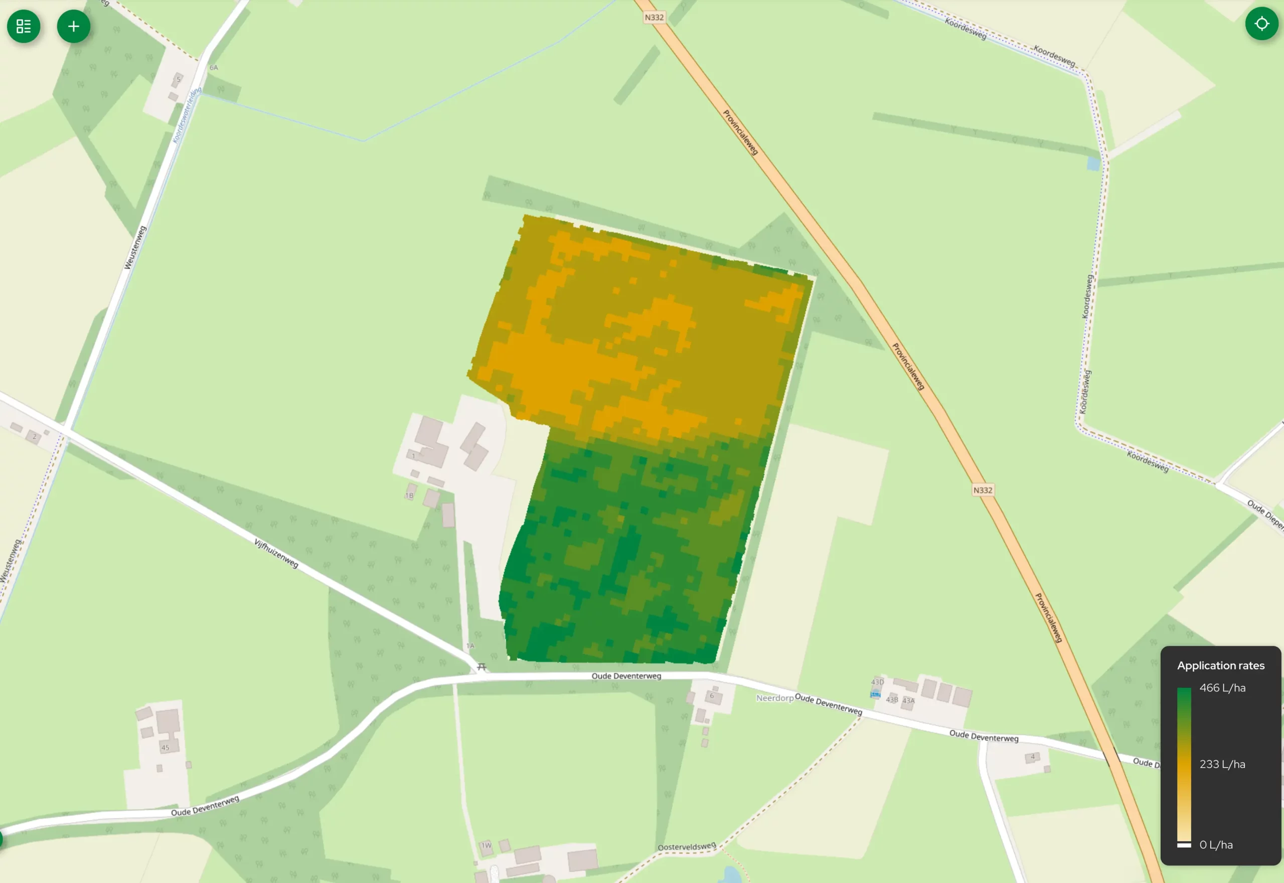
- Plant Precision Spraying: LeapMap is the software that:
- Enables reading high-resolution prescription maps and executing them nozzle-by-nozzle on a 25 x 25 cm or 5 x 5 cm grid and
- Records what you have actually sprayed when using prescription map.
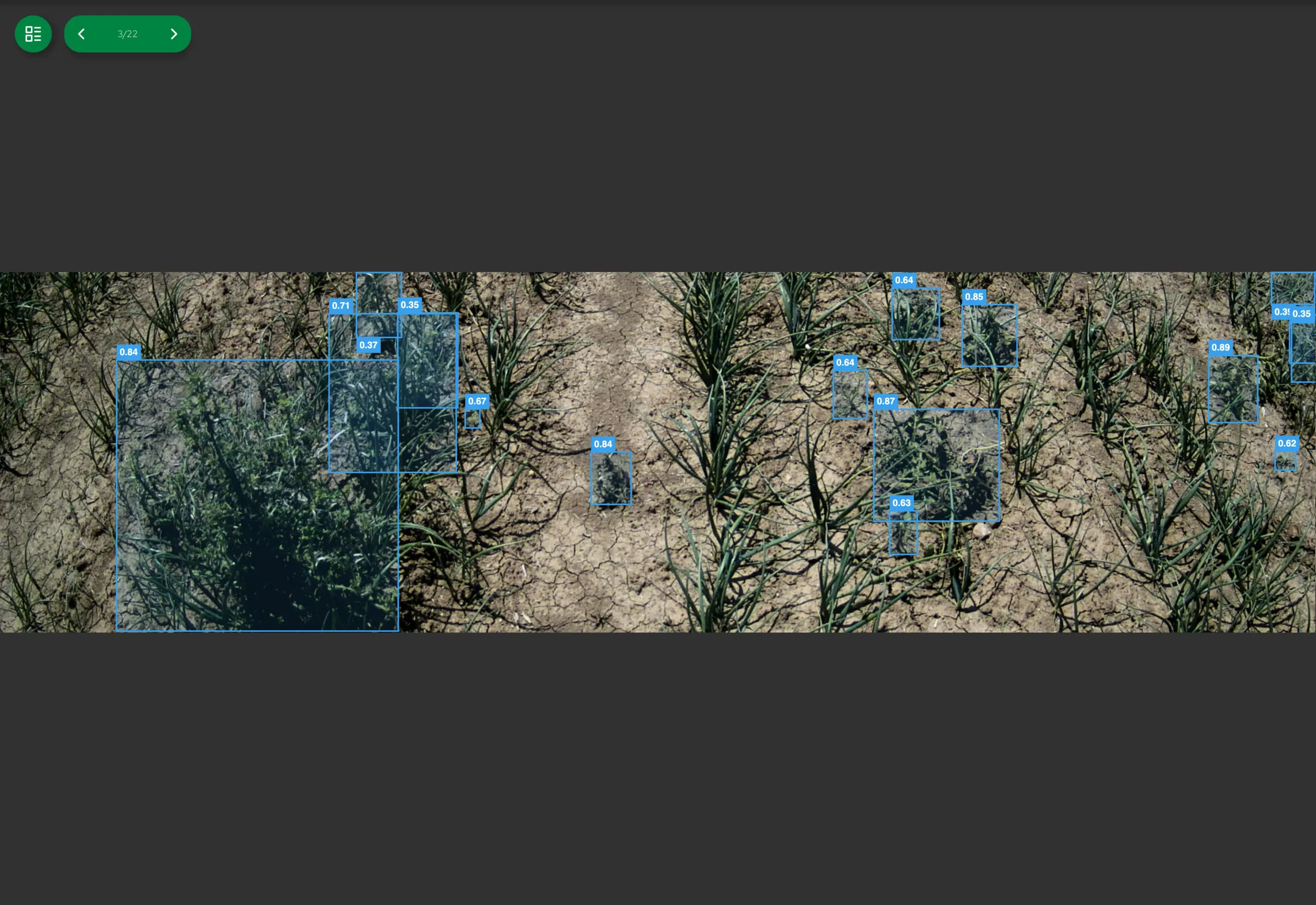
- Real-Time Spraying: LeapMap’s data infrastructure integrates seamlessly with LeapEye. Imagery and detection data from LeapEye are directly converted into precise prescription maps for exact execution.
Real-time processing from GPS signal to individual nozzle
LeapMap is an extension of your existing GPS system and works closely with LeapBox. The system uses LeapSpace to build and manage data, combined with smart software on the LeapBox controller that processes and executes the prescription map in real time.
-
High precision: together with your existing GPS system, LeapMap (with the LeapBox) knows the exact position of every individual nozzle
- Real-time calculation: The LeapBox controller reads LeapMap data at lightning speed. It can control up to 250 nozzles simultaneously
and individually and calculates the required rate up to 40 times per second.
- Maximum precision in practice: Even when loading an external data source with a larger grid, LeapMap executes the Variable Rate Application (VRA) map in blocks of 25 x 25 cm or 5 x 5 cm.
Full control, from broadacre to orchards
Whether you work with horizontal spraying in broadacre farming or vertical spraying in fruit growing, LeapMap understands your machine’s configuration.
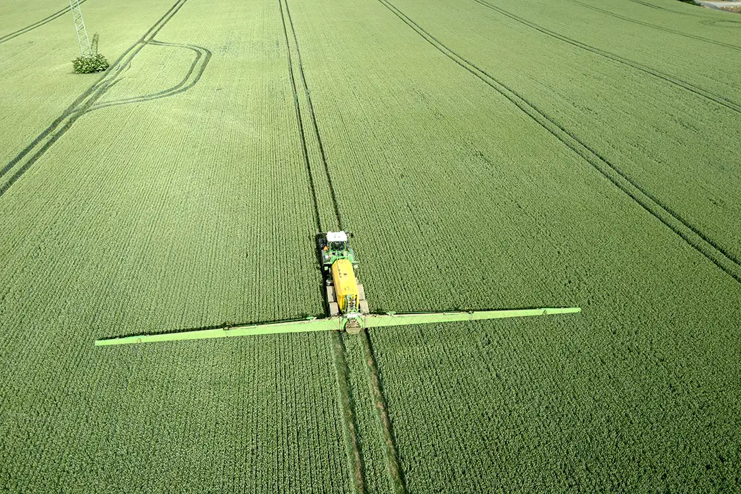
- Arable Farming (Broadacre): On horizontal booms, each nozzle functions as an individual steering point (reading position) for executing the prescription map.
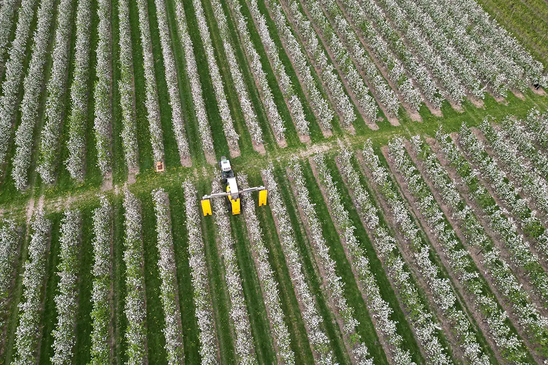
- Fruit Growing (Orchard): LeapMap independently controls and records vertical spray sections on both sides of the cassettes based on the loaded map.
Your knowledge leads to optimal crop care
You know your field best. Via LeapSpace, you build a high-resolution prescription map, keeping your expertise in full control. In LeapMap, you effortlessly process the following layers:
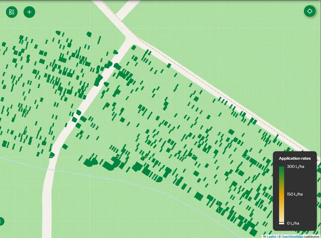
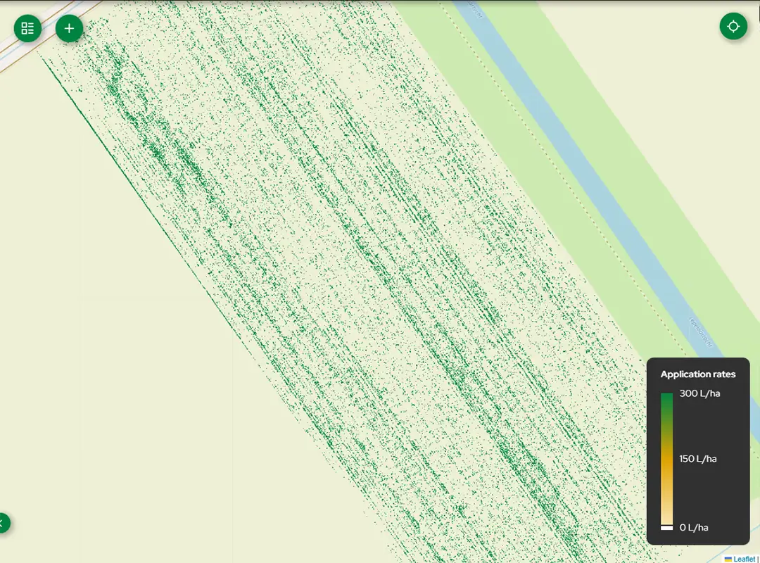
- LeapEye Camera Data (‘As Detected’): Use your field sprayer as a mobile data collector. While driving, the system simultaneously maps field conditions. LeapSpace directly converts this ‘as-detected’ data into actionable prescription maps for a subsequent, highly targeted treatment via LeapMap. Ideal for Hi-Res Spot Spraying and for building confidence before switching to Real-Time Spraying.
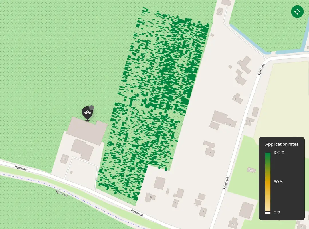
- Spotspray Maps: Maps created by drone images to treat only the crop or weeds in the field.
-
Variable Rate Maps: Maps generated by using drone data or satellite imagery to map biomass in your field. Also historical field data and soil maps can be used for a variable application on your fields
LeapSpace integrates seamlessly with third-party task-map generation software, enabling the direct transmission of field maps to your BBLeap Sprayer.
All your configured rules and layers can easily be extrapolated and applied with a single click to all your fields growing the same crop.
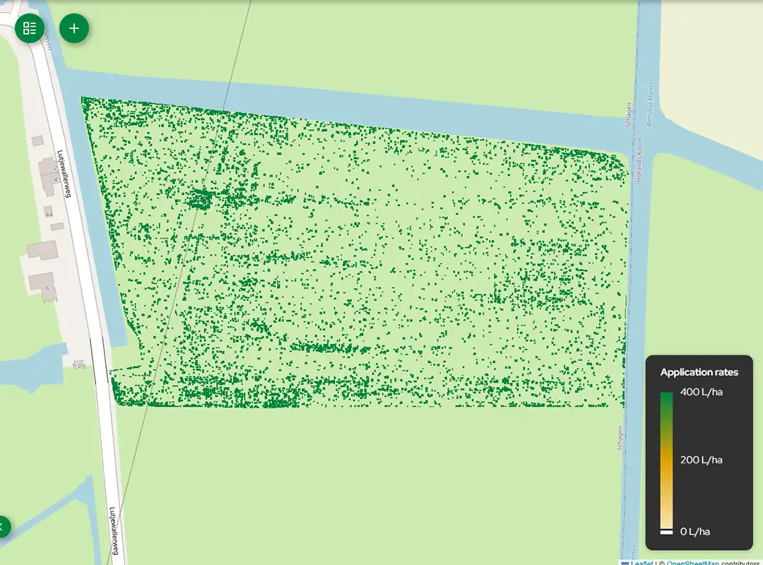
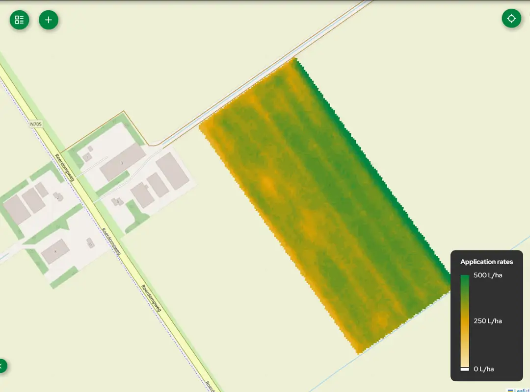
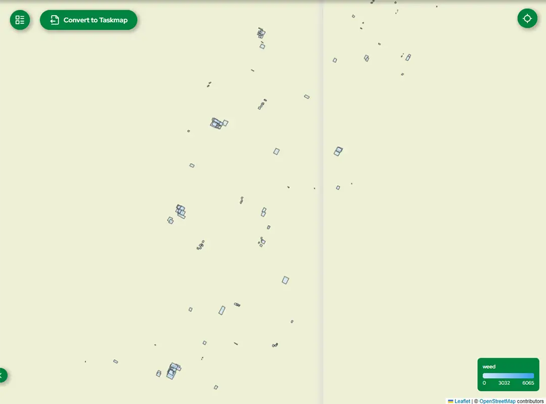
Comprehensive crop logging without gaps or guesswork
Execution is one thing; precisely documenting what happened is step two.
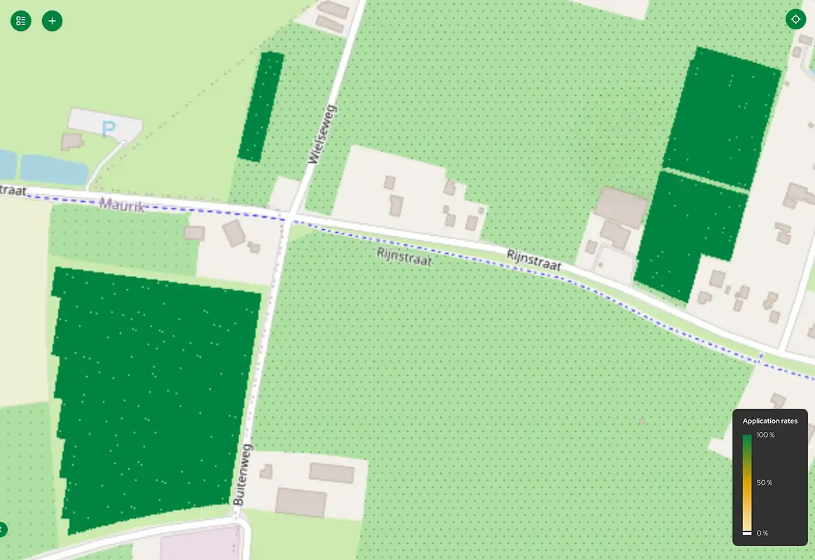
- Full control: The actual sprayed quantities are fed back directly to LeapMap by the LeapBox. Applied dosages can range from 0% to 250% of the configured reference rate.
- Accurate status recognition: The system accurately records the difference between areas that were not reached and areas where the machine did drive but intentionally did not spray (such as exclusion zones or areas with 0 rate such as spot-spray maps).
- Seamless export: LeapMap seamlessly converts the stream of individual measurements into a clean and complete field overview. Every point on the map is based on actual application, resulting in an accurate as-applied map that you can easily share with your Farm Management Information System (FMIS) via API or file (e.g., shapefile/ISO-XML).
Make the Leap to Plant Precision Spraying
Ready to take the step to Plant Precision Spraying?
Discover the perfect synergy between LeapBox, LeapSpace, and LeapMap.