Multi-level prescription maps for extreme precision

LeapCat, the ability to use high-resolution task maps

Farming On Plant Level requires the highest levels of precision and requires two types of input. The first is the exact position of the sprayer and the second is high-resolution task maps. While LeapBox is the tool to perform plant level spraying tasks, we develop LeapCat to make use of plant level data.

GPS signals determine the exact location of the sprayer. LeapCat adds the exact location of the booms and nozzles to it. With LeapCat we place a GPS receiver on each boom to determine the exact location. The location of these additional GPS receivers enables the system to identify the exact location of the nozzles.

High-resolution data up to cm² precision are available, but the ability to turn this data into a task map preserving its resolution is lacking. Currently, the high resolution is lost whenever the data is turned into a task map. Until recently it was not possible to spray on plant level. Therefore there was no incentive for companies to develop technology that could handle the amount of data. To tackle this bottleneck we develop LeapCat.

The data used for LeapCat can be a combination of data or maps. Maps can be based on soil, weather, shadow, satellite maps or drone data.

LeapCat is an addition to the existing GPS system and does not replace it. It works as a cloud solution and it is an application to LeapBox. LeapBox is the core of all BBLeap technology and practically carries out the spray job.


The Technology Readiness Levels (TRLs)

LeapCat trl

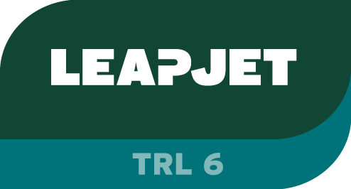
BBLeap values open and transparent communication. This includes the stages of our technologies under development. To communicate our progress we use Technology Readiness Levels (TRLs). TRLs are developed and introduced by NASA in order to be consistent and uniform about communicating technology maturity. LeapCat is identified to be currently in TRL 6. TRL 6 is described as “Subsystem(s) prototype(s) validated in relevant environment”.

Go to LeapBox or explore other BBLeap technologies.

LeapBox
LeapCat trl
LeapCrest trl
LeapEye
LeapPlus trl

Frequently asked questions:

  • What is the primary function of BBLeap's LeapCat technology?
    BBLeap's LeapCat technology is developed to enable the use of highly detailed task maps for Farming On Plant Level. It resolves the bottleneck where high-resolution data is lost when converted into traditional task maps. By placing additional GPS receivers on each spray boom, LeapCat determines the exact location of individual nozzles. This results in unprecedented precision, which is essential for effectively executing plant-level spraying tasks and perfectly complements the operational role of LeapBox. It ensures resources are applied precisely where needed.
  • How does BBLeap's LeapCat contribute to plant-level precision agriculture?
    BBLeap's LeapCat plays a crucial role in achieving plant-level precision agriculture by optimizing the exactness of spray applications. The technology integrates high-resolution data from sources like satellite or drone data, preserving this precision when creating task maps. By determining the exact position of each nozzle, LeapCat ensures that spraying agents are only applied where and when they are needed. This increases efficiency, reduces waste, and supports BBLeap's sustainable mission for 'Clean Food. Clean World.', enhancing both yield and environmental responsibility.
  • What role does LeapCat play within BBLeap's overall technological ecosystem?
    LeapCat is an essential addition to the existing GPS system and functions as a cloud solution that seamlessly integrates with LeapBox, the core of BBLeap's technology. While LeapBox actually performs the plant-level spraying tasks, LeapCat provides the highest possible resolution for task maps and the exact positioning of the spray nozzles. Together, these components create an integrated ecosystem for real-time spraying, significantly enhancing the reliability and precision of agricultural spraying processes and making Farming On Plant Level truly achievable. This synergy ensures superior results.
  • Which technologies are necessary for extremely high-precision spraying in agriculture?
    For extremely high-precision spraying, such as at plant level, advanced technologies are indispensable. A crucial aspect is the combination of highly accurate positioning systems and the ability to utilize high-resolution task maps. This requires systems that can determine the exact location of both the sprayer and individual nozzles down to the centimeter. Furthermore, technology capable of processing large amounts of detailed data and translating it into operational instructions without loss of resolution is needed, leading to optimal effectiveness of the spraying application and minimizing waste.
  • How can advanced spraying technology contribute to more sustainable agricultural practices?
    Advanced spraying technology significantly contributes to more sustainable agricultural practices by enabling more efficient and targeted application of resources. Plant-level precision minimizes waste of crop protection products and fertilizers, leading to reduced environmental impact and lower operational costs. This results in healthier soil, less strain on water sources, and a decrease in the overall ecological footprint. Simultaneously, crop yields and quality are improved, creating a win-win situation for both the farmer and the environment. It's a proactive step towards a cleaner, more productive future.